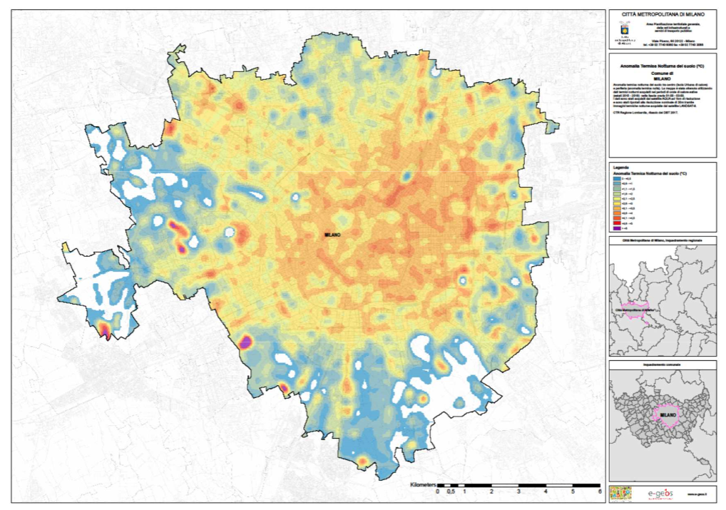
Thermal anomalies on the ground surface in the City of Milan during the 2015-2018 summer heat waves
Higher temperatures, lower rainfalls and intense precipitation phenomena are the main effects of climate change. To minimise the most serious risks related to climate change, global warming needs to be kept below 2ºC. The efforts to reduce greenhouse gas emissions should be a priority. However, despite the mitigation efforts, the climate change impacts will remain high for several decades due to the inertia of the climate system.
Therefore, it is essential to define and implement measures to improve the capacity of territories to adapt to climate change increasing their resilience. The adaptation of urban areas to climate change effects, requires flexibility, periodic updates and the capacity to include climate change resilience within territorial plans and local policies in order to improve the microclimate, increase the permeability of urban areas and improve water resources management. Such change requires a thorough and updated knowledge of the vulnerability of the territory, both in terms of heat islands formation and hydrogeological instability.
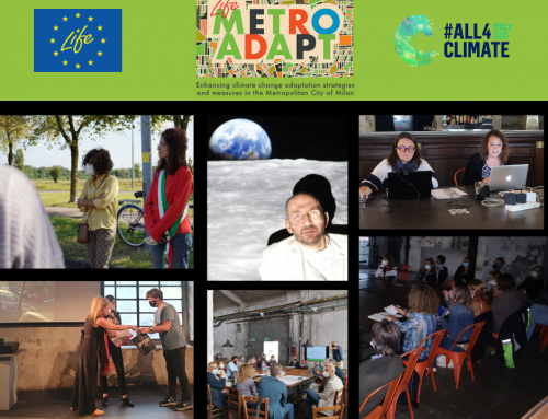
In this framework, the partners of Metro Adapt project (co-financed by the LIFE Programme of the European Union) under the coordination of e-GEOS, have developed the “guidelines for climate analysis and vulnerability assessment at the metropolitan scale”. These guidelines provide to the Metropolitan City of Milan, its municipality and other metropolitan areas, useful references, and principles for the analysis of thermal anomalies. The adoption of the data, tools, methods, and products included in the guidelines is recommended because their application can lead to remarkable knowledge outcomes, especially in this phase where climate change impact is increasing more and more.
The purpose of these guidelines is to provide a brief description of how geographical data and products can be used and replicated both in time and space. Hence, it is important to highlight the use of satellite remote sensing technologies to obtain updated data of the territory and to realize the required cartographic products to support territorial planning activities at several levels.
Indeed, satellite data can provide information at different scales, from the municipal level up to wider areas such as those pertaining to the District Basin Management Plans, Landscape Plans and Regional Plans within water and disruption sectors (Protection Plans and PAI, established under the Water Framework Directive 2000/60/EC and the Flood Risk Directive 2007/60/EC).
In addition to the Metropolitan City of Milan, these Guidelines are also addressed to other public administrations and entities dealing with territorial management: municipalities, Lombardy Region, the Regional Environmental Protection Agency (ARPA), the District Basin Authorities, reclamation consortia etc.
Therefore, these guidelines suggest the use of technologies of Earth Observation from satellite to harmonize urban planning plans with other sectoral plans, such as the Sustainable Energy and Climate Action Plan (SECAP) and plans concerning flood risk and water quality.
Moreover, satellite technologies allow a synoptic view of critical issues, thus boosting the integration of territorial planning at different levels, which is fundamental for the optimization of economic resources and for the implementation of multi-objective and integrated actions.
For instance, the production of Urban Heat Island Maps could be included in the SECAP with specific indications on the use of thermal alterations satellite maps in the main urban areas. Such maps could be periodically updated to consider the changes in land use.